CoastSnap: Hurunui District Council
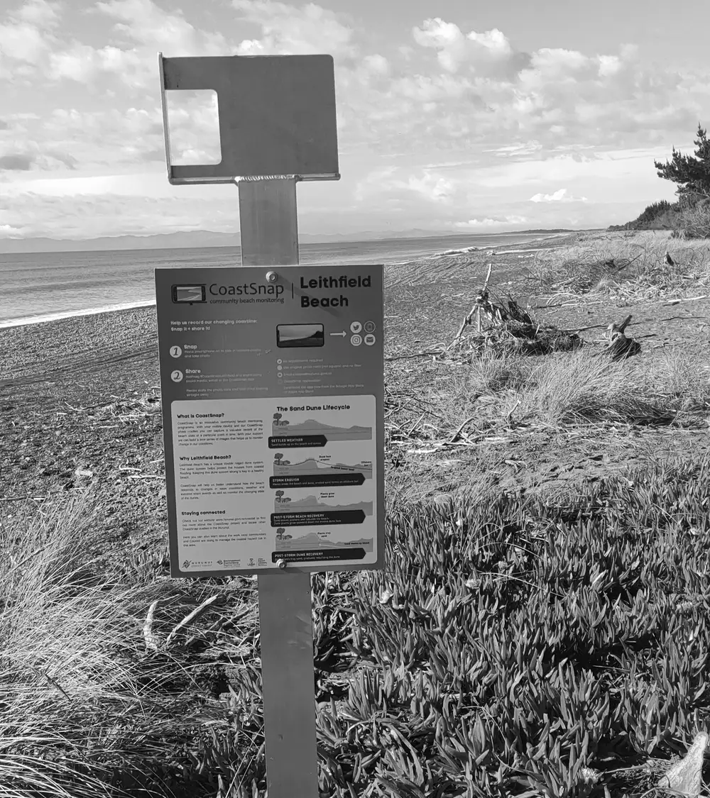
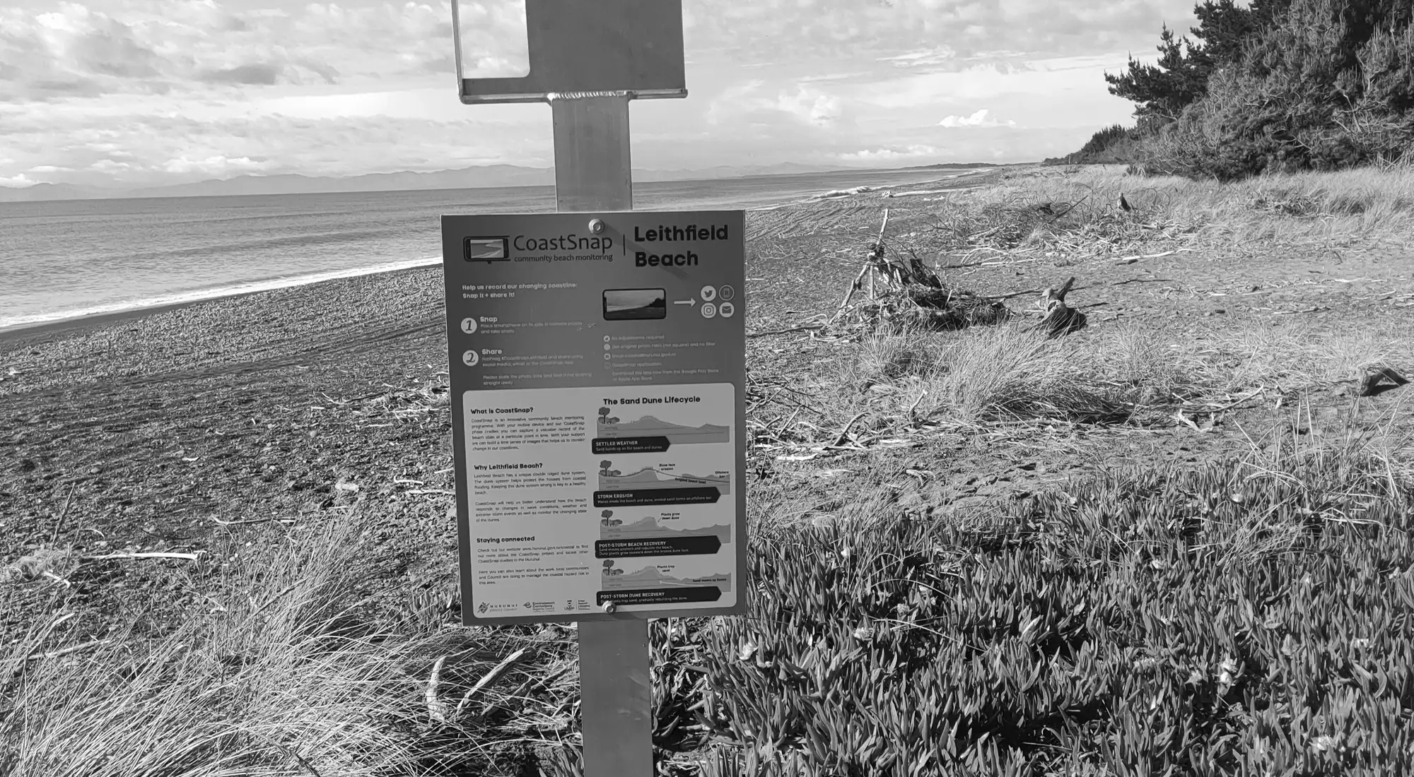
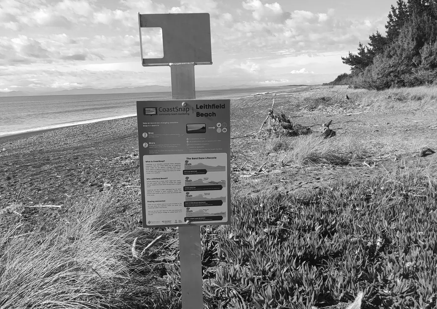
CoastSnap is a community science monitoring project (designed by the Water Research laboratory at the University of New South Wales, Australia) being delivered by Hurunui District Council.
In 2020 the Hurunui District Council commenced a project to identify the current coastal hazards that impact Hurunui’s coastal communities and to understand how these hazards will change over the next 100 years. The project seeks to establish a long-term approach for managing the risk of coastal hazards at each of the settlements in partnership with the local communities.
The aim is to involve the local community to help monitor change in the coastal environments through regular photos taken at the same location. CoastSnap stands are installed at Leithfield Beach, Amberley Beach, Motunau and Gore Bay. Community members are invited to take photos of the beach from these fixed-point photo stands (which have smartphone camera cradles) and either upload photos onto the CoastSnap app, email them to the Council, or share them on social media using the hashtag #coastsnapbeachname.
These repeat photos track how the coastlines are changing over time due to human activity and natural processes such as storms, rising sea levels and day-to-day changes in the beach structure. The monitoring will help the council and scientists better understand, research, manage and plan for the coastal environment.